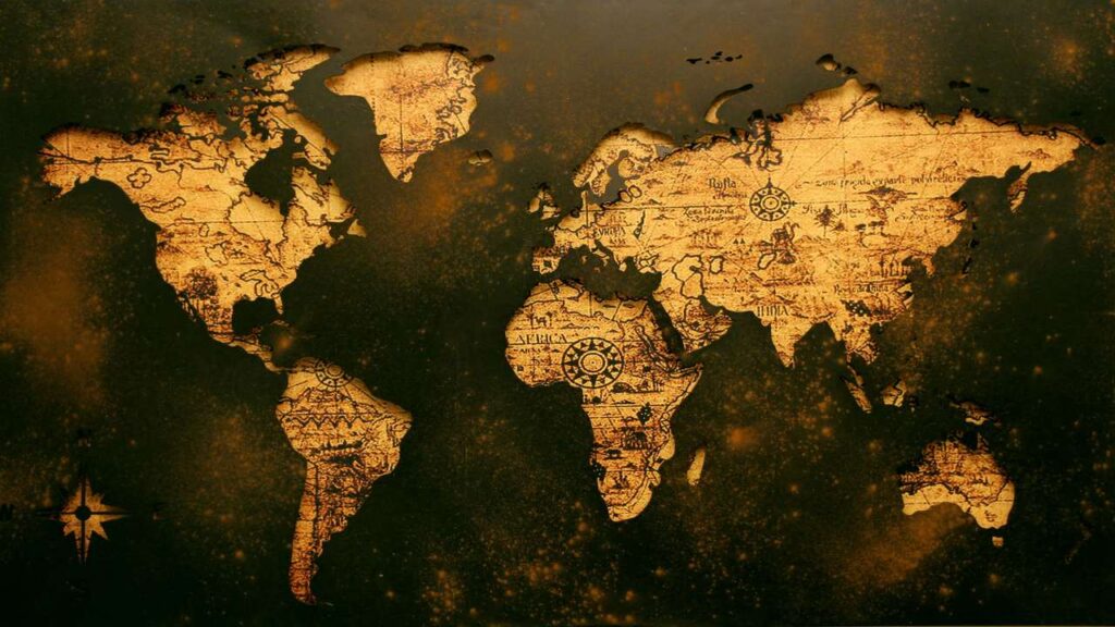
Maps have been a fundamental tool for navigation and exploration for centuries, guiding travelers across vast landscapes and helping societies understand their place in the world. One of the most universally accepted conventions in cartography is that north is always at the top of the map. But have you ever wondered why this is the case? The answer is rooted in history, culture, and the development of navigation techniques.
Let’s explore how this convention came to be and why it remains prevalent today.
1. Historical Context
The practice of orienting maps with north at the top is relatively modern. Early maps did not adhere to this convention. For instance, ancient Greek maps often placed east (where the sun rises) at the top, reflecting the importance of the sun in their cosmology. The famous Roman philosopher and cartographer Ptolemy, in the 2nd century CE, also oriented his maps with the east at the top, emphasizing its significance in navigation and daily life.
It wasn’t until the Middle Ages that the orientation of maps began to shift. As trade routes expanded and exploration flourished, the need for standardized navigation became critical. By the 15th century, north started to emerge as the preferred orientation in many European maps, coinciding with the rise of magnetic compasses, which pointed toward the North Pole.
2. The Influence of the Compass
The invention of the magnetic compass played a significant role in establishing north as the top direction on maps. The compass, which became widely used by sailors in the 14th century, provided a reliable means of determining direction at sea. Since the needle of the compass always points toward magnetic north, it naturally led to the adoption of north as the primary orientation for maps.
As maritime exploration expanded, navigators and cartographers began to design maps that aligned with compass directions. This made it easier for sailors to interpret maps while at sea, as they could quickly correlate the map orientation with the actual direction they were traveling.
3. Cultural and Political Factors
The shift toward north being at the top of maps was also influenced by cultural and political factors. In Europe, during the Age of Exploration, nations sought to assert their dominance and expand their territories. As maps began to reflect these ambitions, placing north at the top became a symbol of power and authority.
Additionally, prominent cartographers, such as Gerardus Mercator in the 16th century, helped solidify this convention. Mercator's cylindrical map projection, designed for navigational purposes, presented a clear and functional representation of the world, with north at the top. His maps gained widespread popularity, reinforcing the idea that north should be the standard orientation for all maps.
4. Psychological Aspects
The choice of north as the top direction on maps may also have psychological implications. People generally read from left to right and top to bottom, and placing north at the top aligns with this natural reading pattern. This orientation makes it easier for users to comprehend spatial relationships and navigate their surroundings intuitively.
Moreover, in many cultures, the concept of “up” is associated with positivity and aspiration. By positioning north at the top, maps reinforce a sense of direction and purpose, aligning with societal views of progress and advancement.
5. Exceptions to the Rule
While the convention of north being at the top is widely accepted, it is not universal. Some cultures and regions have their own cartographic traditions that challenge this norm. For instance, in some Indigenous maps, the east may be placed at the top to emphasize the importance of the rising sun. Additionally, artistic maps may defy conventional orientation to convey a particular narrative or perspective.
6. Conclusion
The practice of placing north at the top of maps is a fascinating blend of historical, cultural, and psychological influences. From ancient civilizations to modern navigation techniques, this convention has evolved over centuries, shaped by the needs and values of societies. While it may seem like a simple design choice, the orientation of maps carries deeper meanings about how we understand and navigate our world.
As we continue to explore new frontiers and develop innovative technologies, the fundamental conventions of cartography will likely persist, reminding us of the rich history and evolution behind the maps we rely on today. Understanding why north is at the top not only enriches our appreciation for maps but also encourages us to consider alternative perspectives that may exist in different cultures and contexts.

